Regional climate models (RCMs) are a standard tool for downscaling climate forecasts to finer spatial scales. The evaluation of RCMs against observational data is an important step in building confidence in the use of RCMs for future prediction.
In addition to model performance in climatological means and marginal distributions, a model’s ability to capture spatio-temporal relationships is very important.
In a paper published in the Journal of Geophysical Research – Atmospheres, researchers in Argonne National Laboratory’s Environmental Sciences Division identified the value added by an RCM by developing simple but robust approaches which effectively address a long-standing question in the scientific community on the utility of downscaling.
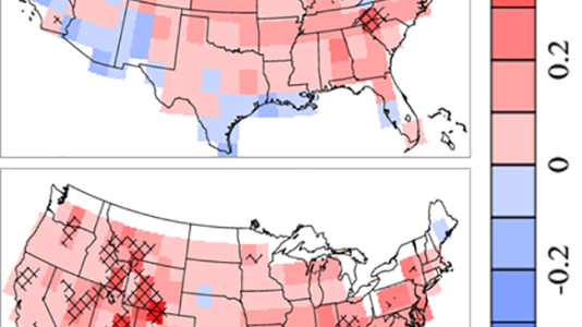
Two approaches were developed in this study using precipitation data: spatial correlation, which measures the spatial variations of precipitation; and spatio-temporal correlation, which measures the spatial and temporal variations together. These two approaches are also feasible for other interested variables/events, such as heat islands, storms, air pollutants, etc.
In comparison with the coarse resolution simulation, the RCM (fine resolution) provides significantly more realistic details of spatial and temporal variations of precipitation over the United States, especially over regions with complex terrains. This work gives researchers new tools for assessing RCMs, thus providing important complements to traditional model-based evaluation procedures.
This work is supported under a military interdepartmental purchase request from the Strategic Environmental Research and Development Program, RC-2242, through U.S. Department of Energy contract DE-AC02-06CH11357.
Paper: “Model performance in spatio-temporal patterns of precipitation: New methods for identifying value added by a regional climate model,” Wang et. al.