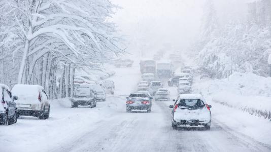
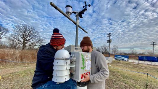
Climate change is bringing flooding, heat islands and extreme weather to Chicago. An Argonne-led project from the U.S. Department of Energy’s Urban Integrated Field Laboratory will help neighborhoods understand and adapt to the city’s changing climate.
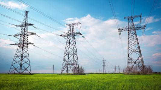
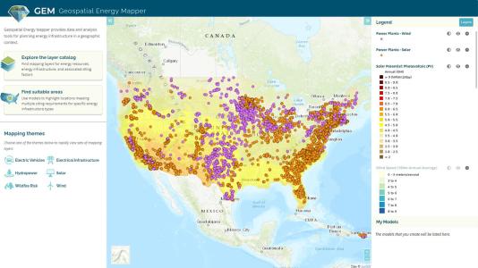
The Geospatial Energy Mapper is an interactive online mapping tool that can help identify areas across the country that are suitable for wind, solar, and other clean energy infrastructure projects.
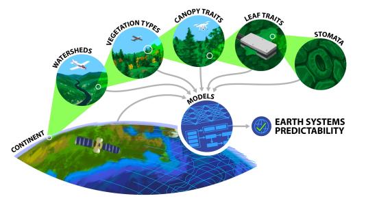
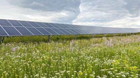
Scientists from Argonne will study the soil around ground-mounted solar panels and develop a national soil database to better understand impacts on the ecosystem.